
Hiking Trails Near Bailey, Colorado: A Local Planning Guide
Key Takeaways
- Bailey sits near a range of trail options, from easy forest walks to steeper climbs with views into South Park.
- Elevation here typically runs 7,700 to over 10,000 feet, so pacing and hydration matter more than distance alone.
- Afternoon thunderstorms are common in summer; starting early is the simplest safety measure.
- Water sources along most trails should not be relied on without a filter or backup supply.
- Bear awareness applies on nearly every trail in this area, not just remote ones.
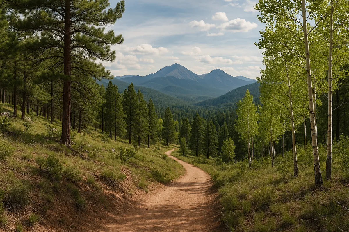
Hiking near Bailey, Colorado rewards a little planning. The terrain shifts quickly from valley floor to ridge line, and trailheads that look similar on a map can differ a lot in difficulty, crowding, and weather exposure. This guide walks through practical considerations for choosing a trail and showing up prepared, rather than ranking "best" hikes out of context.
Trail Options Around Bailey
The area around Bailey offers a mix of forest-service trails, state park trails, and access points along the South Platte river corridor. Options range from short loops suitable for a couple of hours to longer routes that require a full day and a real plan for water and weather.
Staunton State Park
Staunton State Park, a short drive from Bailey, is one of the more developed trail systems in the region, with maintained paths, trail junctions, and a range of distances. It's a solid choice for hikers who want clear signage and multiple route options without committing to a full backcountry day. For a fuller breakdown of what the park offers, see what there is to do in Staunton State Park.
Kenosha Pass and South Park Views
Kenosha Pass, along Highway 285 south of Bailey, connects to trail access that opens up into views of South Park's wide valley floor. It's a popular spot in fall for aspen color, but it's worth visiting outside peak season too, when trails are quieter. Timing matters here more than at some other trailheads, and our guide on when to visit Kenosha Pass covers seasonal considerations in more detail.
Multi-Use Trails Shared With Bikers
Several trails in the Bailey area are shared between hikers and mountain bikers, which affects both pacing and trail etiquette. If you're picking a route on a weekend, it helps to know which trails see heavier bike traffic. Our guide to mountain bike trails in Bailey, CO is written for riders, but it's a useful reference for hikers deciding when and where to expect more traffic.
Difficulty and Altitude Considerations
Most trailheads near Bailey start somewhere around 7,700 to 8,200 feet in elevation, and many routes climb from there. That altitude alone can make a moderate-looking trail feel harder than expected, especially for visitors arriving directly from lower elevations. A few practical notes:
- Give yourself an extra rest day if you're arriving from near sea level and planning a longer hike immediately.
- Distance on a map doesn't account for elevation gain — check the gain, not just the mileage, before committing to a route.
- Afternoon fatigue at altitude is common even for experienced hikers; padding your timeline is more useful than pushing pace.
Safety, Wildlife, and Water
Bear activity is a real consideration on trails throughout this part of Colorado, not just in designated wilderness areas. Storing food properly, hiking in groups where possible, and knowing basic bear safety practices are worth reviewing before you go. Our guide on bears in Bailey, CO covers what to know before heading out.
On water: some trails follow streams or pass near reservoirs, but relying on natural water sources without a filter is a common mistake. Bring more water than you think you'll need, especially in summer, and treat any water you collect along the way.
Weather Timing
Summer afternoons in the foothills and higher terrain around Bailey often bring thunderstorms, sometimes with little warning. Starting hikes early in the morning, especially on exposed ridgelines, is the simplest way to avoid getting caught above treeline when weather rolls in. Checking a current forecast the morning of your hike, rather than the night before, is worth the extra step.
A Basic Gear Checklist
- Layered clothing, even in summer — temperatures swing more than lower elevations
- More water than feels necessary, plus a filter if the route follows water
- A paper map or downloaded offline map, since cell service is inconsistent
- Sturdy footwear suited to uneven, rocky terrain
- A basic first aid kit and a way to signal for help if hiking solo
When to Go
Late spring through fall is the most accessible window for most trails near Bailey, though snow can linger at higher elevations into June in a heavy winter year. Fall brings cooler temperatures and thinner crowds on weekdays, along with the added draw of changing aspen color at higher elevations. Whatever season you choose, checking trail and road conditions close to your trip date is a good habit, since conditions here can shift quickly with elevation and weather.
Planning Your Stay
If you're building a hiking trip around a few days in the area, having a comfortable, low-key home base nearby makes the early starts and post-trail downtime easier to manage. The Stillwood Retreat in Bailey, Colorado is about an hour from Denver and set up for small groups, with two king bedrooms and a flexible loft with a queen bunk-style setup, comfortably sleeping up to four guests. Dogs are welcome for $40 per day (capped at $250 per stay) as long as they're leashed, and five exterior-facing cameras help keep the property secure between adventures. There's no air conditioning, so summer evenings after a hike tend to stay cool and comfortable on their own. If a quiet, trail-adjacent stay sounds like a good fit for your next hiking trip, the retreat is worth a look while you're mapping out your route.
